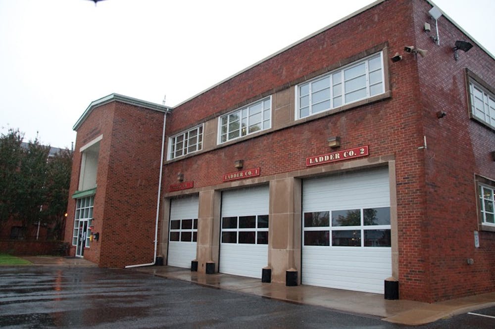
The City of Charlottesville is in the process of finalizing a $1 million grant from the Virginia Department of Emergency Management to create and pilot an information-sharing plan. The program is meant to enhance the efficiency of communication among emergency officials at various public safety agencies, said Charles Werner, City of Charlottesville fire chief.
The two goals of the project are to "develop a state-wide strategic information sharing plan" and to create a "geospatial visualization pilot project," which is "an interactive map of [emergency] information," Werner said.
This system will assist state, local and federal officials in efficiently sharing and using information about emergencies, such as the recent string of local microbursts - large and fast-striking storms - in the City, Werner said.
The department funded the project in hopes that the system can be replicated in various localities across the state, Commonwealth Interoperable Communications Officer Chris McIntosh said.
This new system will increase "the ability of public safety [officials] to more quickly access information," McIntosh said. "It's going to empower that public safety official [making an emergency decision] so that they can make the right decision in less time."
The project was conceived in part because of the difficulties faced by emergency officials trying to access, analyze and act on a multiplicity of data streams simultaneously, McIntosh said.
"Literally hundreds of these different [emergency management] tools have been developed," McIntosh said. "There is no mechanism ... to share information, and it is really detrimental to decision makers when you are having to hop from portal to portal."
The geospatial visualization - a map of the emergency information - included in the project will also provide information to the public and facilitate the public assisting emergency officials in gathering information.
"You would be able to look at [a map] and see if roads are closed and other types of information," Werner said. "We're hoping to take it even to the mobile device level."
Werner hopes to create a "citizen app," which would allow members of the general public to share information with safety officials. For example, a citizen could take a picture of a down tree. The picture would then appear on the map, which could be viewed by emergency officials, including law enforcement to help them survey the damage.
"It makes the access to the data much more ... effective," Werner said.
The City received the grant because it has consistently been at the forefront of developing ways to better use information, McIntosh said.
"Charlottesville has already been very progressive with these kinds of things," McIntosh said. "The proximity to the University ... gives them some resources," he added.
The new system will be completed before the next hurricane season in June of 2012, McIntosh said.
Read More

Wahoos4UVA letter asks Spanberger for academic protections after failed legislation
By Grace Little | 3 days agoThe letter addresses “federal government overreach” as one of Wahoos4UVA’s motivations for higher education governing board changes.

An update on Beardsley’s ‘Grounds for Conversation’ initiative
By Nicolas Biernacki | 3 days agoIn a statement to The Cavalier Daily, University Spokesperson Bethanie Glover described the initiative — Grounds for Conversation — as an effort to learn the University’s strengths and areas for improvement.

Board reviews U.Va.’s athletic competitiveness, highlights success under NCAA changes
By Ruby Budetti | 3 days agoAccording to the meeting’s presentation, the Board covered seven topics — Virginia Athletics’ organization, value proposition, performance at a glance, peer benchmarking, House settlement and NIL, fiscal year 2026 highlights and economic impact.